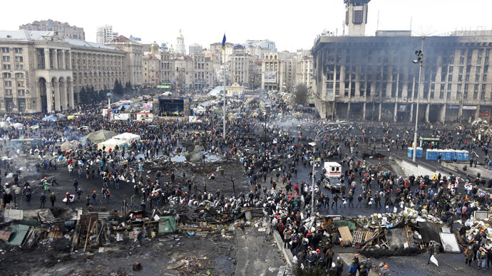
failure to update: 20 February 2014
What is the point of Google satellite maps if they only present clean copies taken in the summer? Is there no satellite path near Independence Square/ Maidan Nezalezhnosti/ Майдан Незалежності in Kiev these days?
Here is the structure of the square: divided in two by a main road.

and here is the reality of Thursday, 20 February 2014:
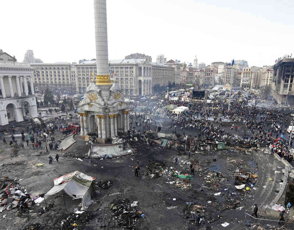
or marginally closer to the ground: